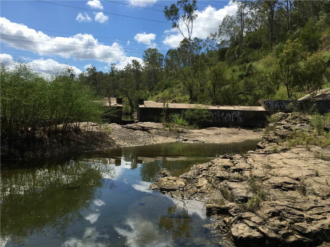
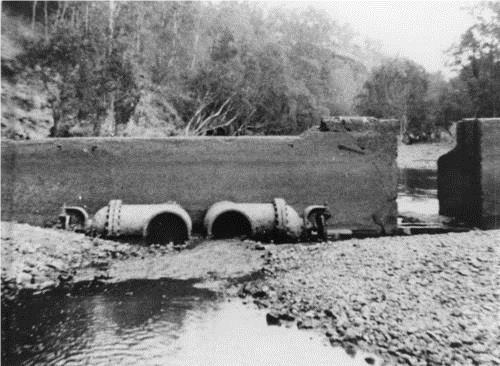
Mt Crosby Old Weir
Old weir at Mount Crosby on the Brisbane River
Mount Crosby Old Weir (QHR)
The Old Weir was constructed as a water retention measure in the wake of a significant drought. The design for the concrete wall was drawn by Waterworks Board Engineer HG Foster Barham. It was built by Matthew Crawford between June and August 1902. The wall, which initially stretched only partway into the Brisbane River, was extended in 1918-9. It was used as gauging station from 1926 when a new weir was built upstream, attached to the new bridge near the Mount Crosby pumping station. Its valves were removed in 1965.
Address summary
Brisbane River
Addresses
Lot plan
L102_RP904292
Geolocation
-270544129 152.797524
Date of entry on Queensland Heritage Register
Interactive mapping
Address summary
Brisbane River
Addresses
Lot plan
L102_RP904292
Geolocation
-270544129 152.797524
Date of entry on Queensland Heritage Register
Interactive mapping
Page prepared by — Brisbane City Council (page revised March 2023)