Addresses
Type of place
Roadway
Period
Victorian 1860-1890
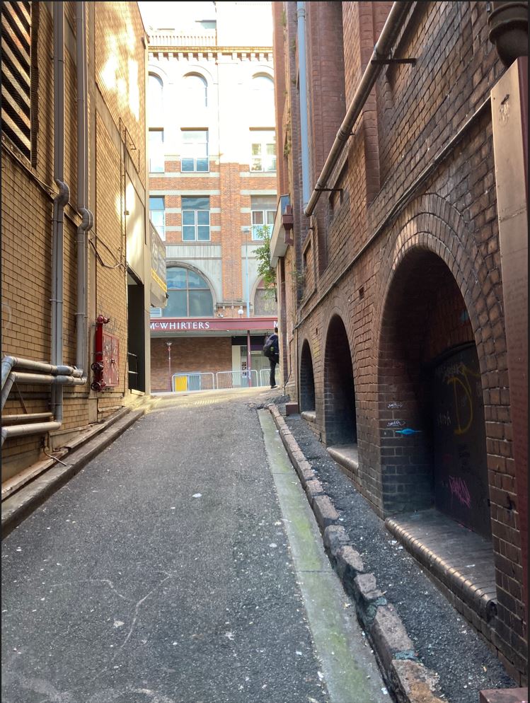

Overells Lane, Fortitude Valley, opening onto Wickham Street.
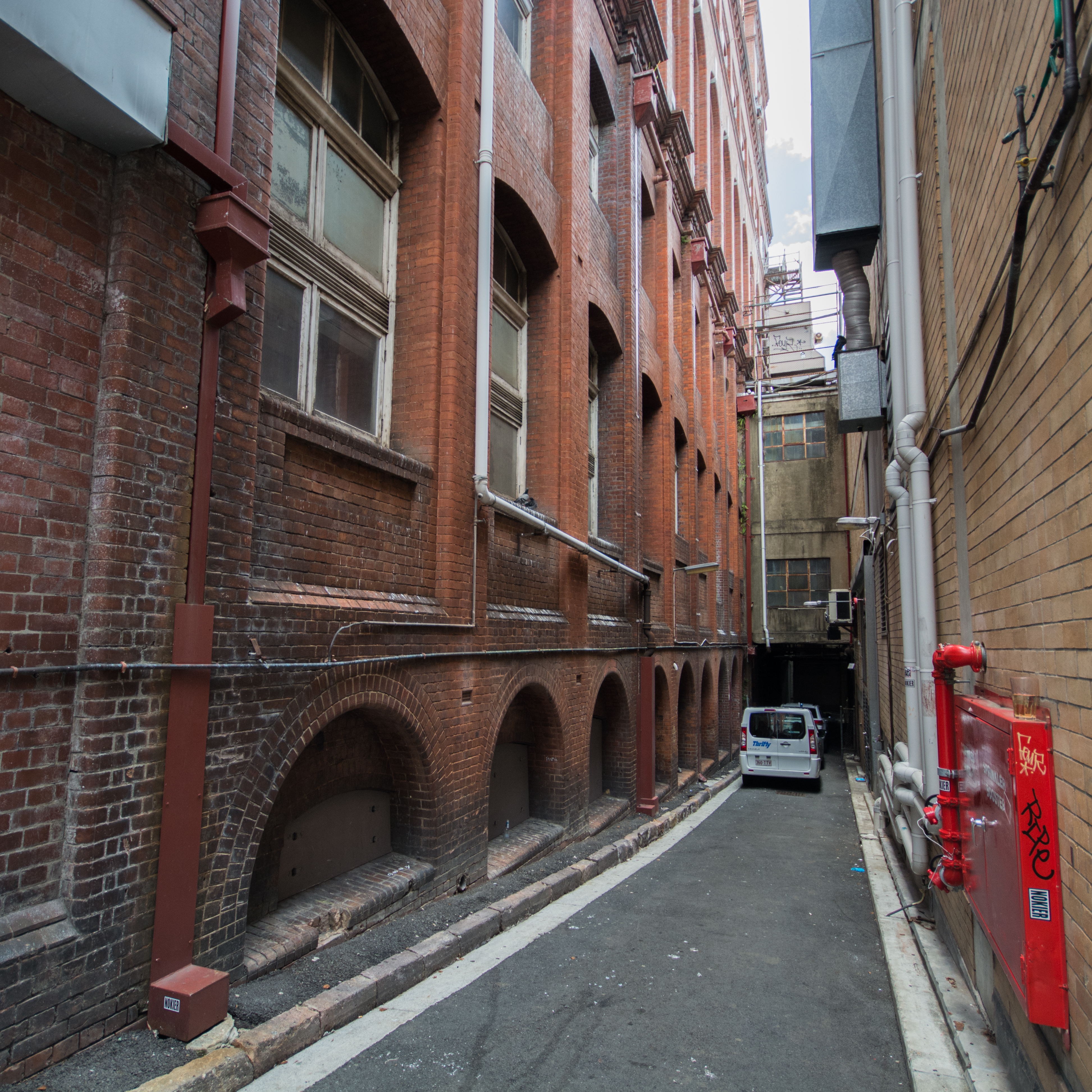
Overells Lane, from the rear of the lane, facing towards Wickham Street.
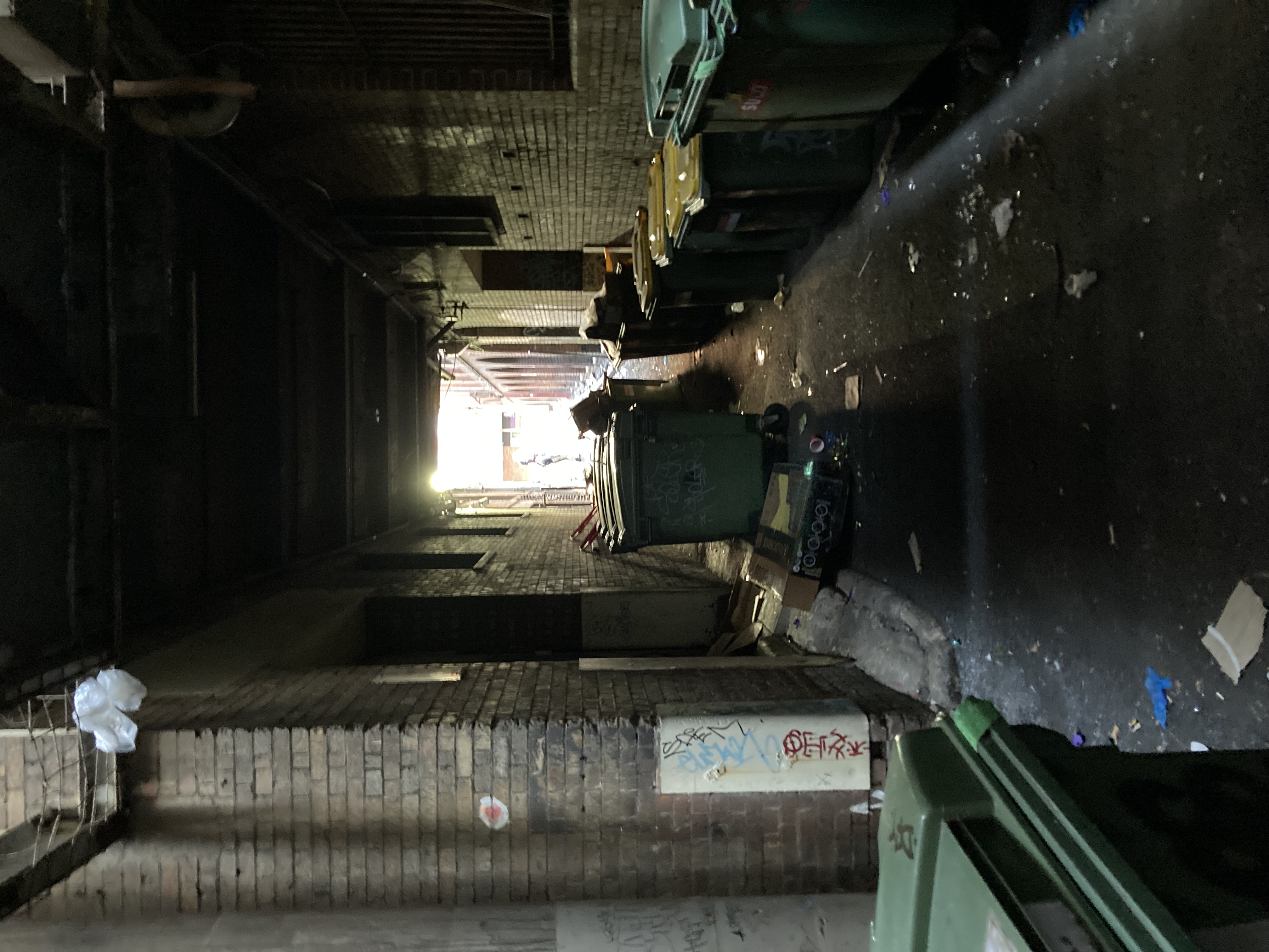
Overells Lane
Addresses
Type of place
Roadway
Period
Victorian 1860-1890
Overells Lane, running off Wickham Street, was one of many service lanes created in Brisbane’s central business areas in the nineteenth century. Marked on land titles from the mid-1860s, the lane became useful as a thoroughfare after the Brunswick Street Railway Station was opened in 1890. The name ‘Overells Lane’ gradually took hold after William Overell relocated his large drapery store to Brunswick Street, fronting the lane, in 1899. Overell’s booming business used the lane for service deliveries. The lane also provided access to various stores during the Valley’s dominance as a shopping precinct in the first half of the twentieth century. Improvements to the lane were proposed in the 1930s but never made, and the lane has since fallen into disrepair. However the lane remains valuable for its connection with the Overells and later Waltons Department Store, and reflects the development of Fortitude Valley through the nineteenth and twentieth centuries.
Geolocation
-27.456891 153.033791
Key dates
Local Heritage Place Since —
Date of Information —
People/associations
William Overell (Association)Interactive mapping
Geolocation
-27.456891 153.033791
Key dates
Local Heritage Place Since —
Date of Information —
People/associations
William Overell (Association)Interactive mapping
References
-
Brisbane City Council Heritage Unit, Fortitude Valley citations (various)
-
Brisbane City Council Heritage Unit, Fortitude Valley Character and Heritage Study, August 1995
-
Brisbane City Council aerial photographs, 1946, 2001, 2009
-
Detail Fire Survey: City of Brisbane, 1951, Mahlstedt’s: Consulting Fire Engineers and Surveyors, Melbourne
-
The Brisbane Courier, The Courier Mail, The Queenslander.
-
Picture Australia
prepared by — Brisbane City Council (page revised March 2023)