Addresses
Type of place
Dam / reservoir
Period
Federation 1890-1914
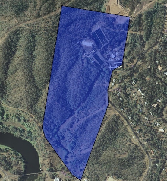

This is an image of the local heritage place known as Mt Crosby High Level Reservoir
Mount Crosby High Level Reservoir
Addresses
Type of place
Dam / reservoir
Period
Federation 1890-1914
The high level reservoir was built in 1891, at the same time as the pumping station. It was required to hold one day’s supply of water for the people of Brisbane, and be high enough for its contents to be delivered by gravity. It was constructed by Thomas Stratham. The standpipe was cast in Brisbane by Smith Forrester and Co. Valving allowed the reservoir to be cut out of the system and water from the standpipe to be diverted at Kenmore Junction back along the main to Gold Creek reservoir for replenishing. The site consists of an open concrete reservoir and brick valve house, with the large iron stand pipe nearby. The reservoir is significant because of its age and integrity, demonstrating the technical achievements of nineteenth century engineering. The standpipe is also significant because of its age and integrity, and it demonstrates the level of competence of Brisbane foundries of the time. Both elements contribute to an understanding of the waterworks process.
Lot plan
Key dates
Local Heritage Place Since —
Date of Information —
Construction
WallsPeople/associations
Thomas Stratham (Builder)Interactive mapping
Lot plan
Key dates
Local Heritage Place Since —
Date of Information —
Construction
WallsPeople/associations
Thomas Stratham (Builder)Interactive mapping
References
-
Ipswich City Council, Expanded Ipswich Heritage Study, 1997
-
Brisbane City Council, Mount Crosby Waterworks Conservation Management Study Site Report, June 2001
-
Brisbane City Council, aerial photographs 2001 & 2009
prepared by — Brisbane City Council (page revised March 2023)