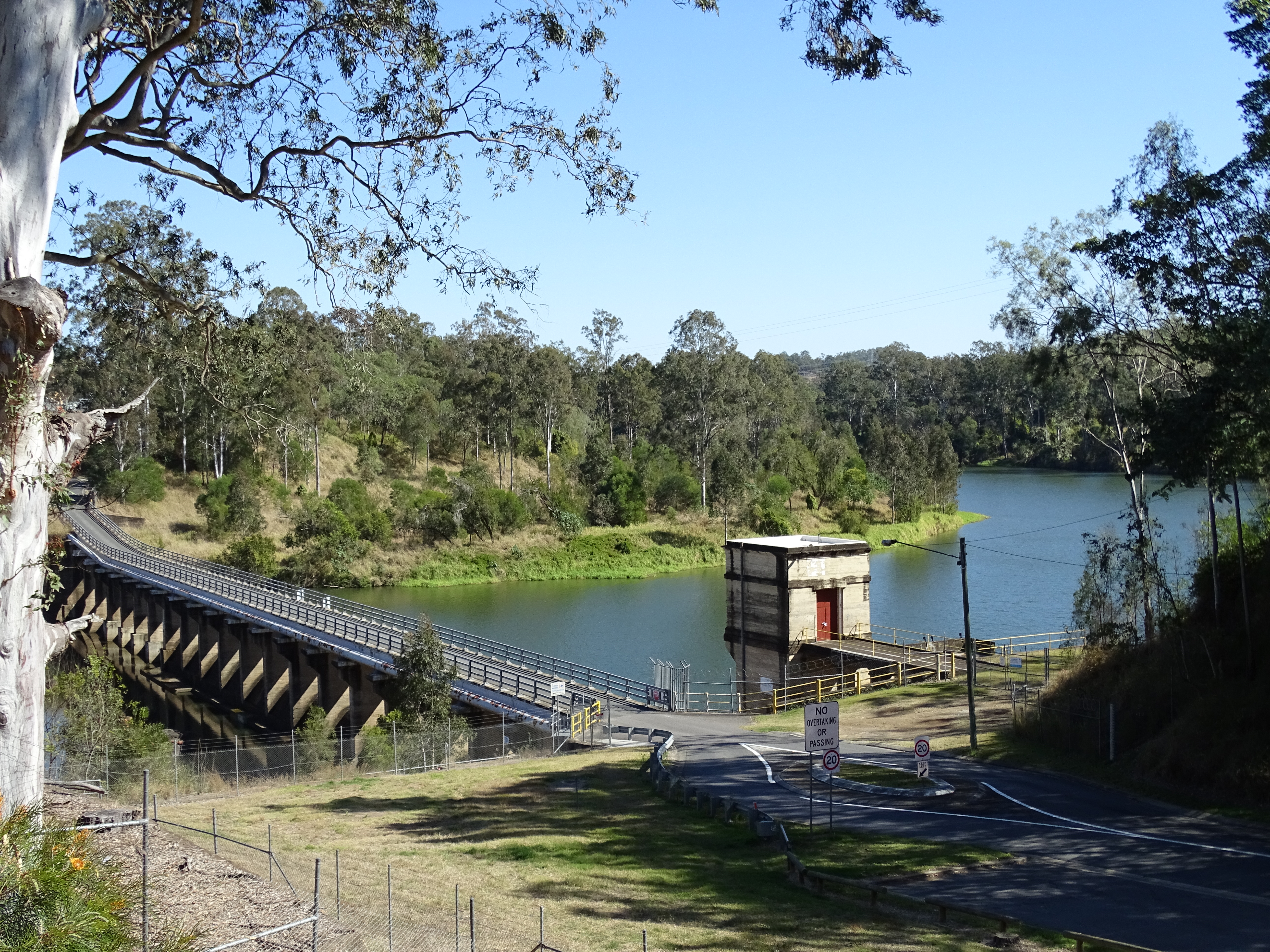
This is an image of the local heritage place known as Mt Crosby Weir & Old Bridge Foundations. Photograph taken 12 August 2018.
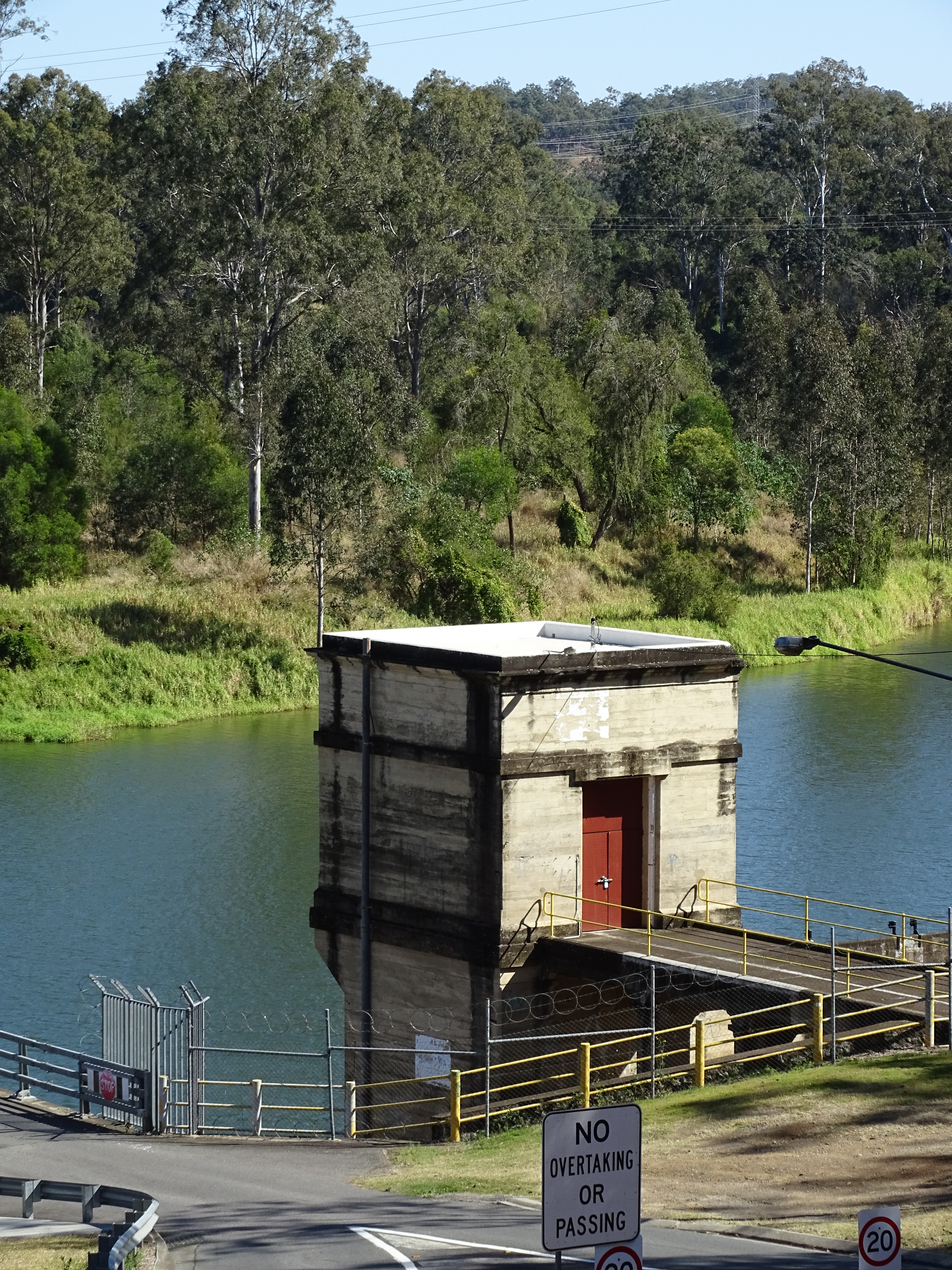
This is an image of the Water Intake Tower on the eastern side of the Mt Crosby Weir, part of the local heritage place known as Mt Crosby Weir & Old Foundations. Photograph taken 12 August 2018.
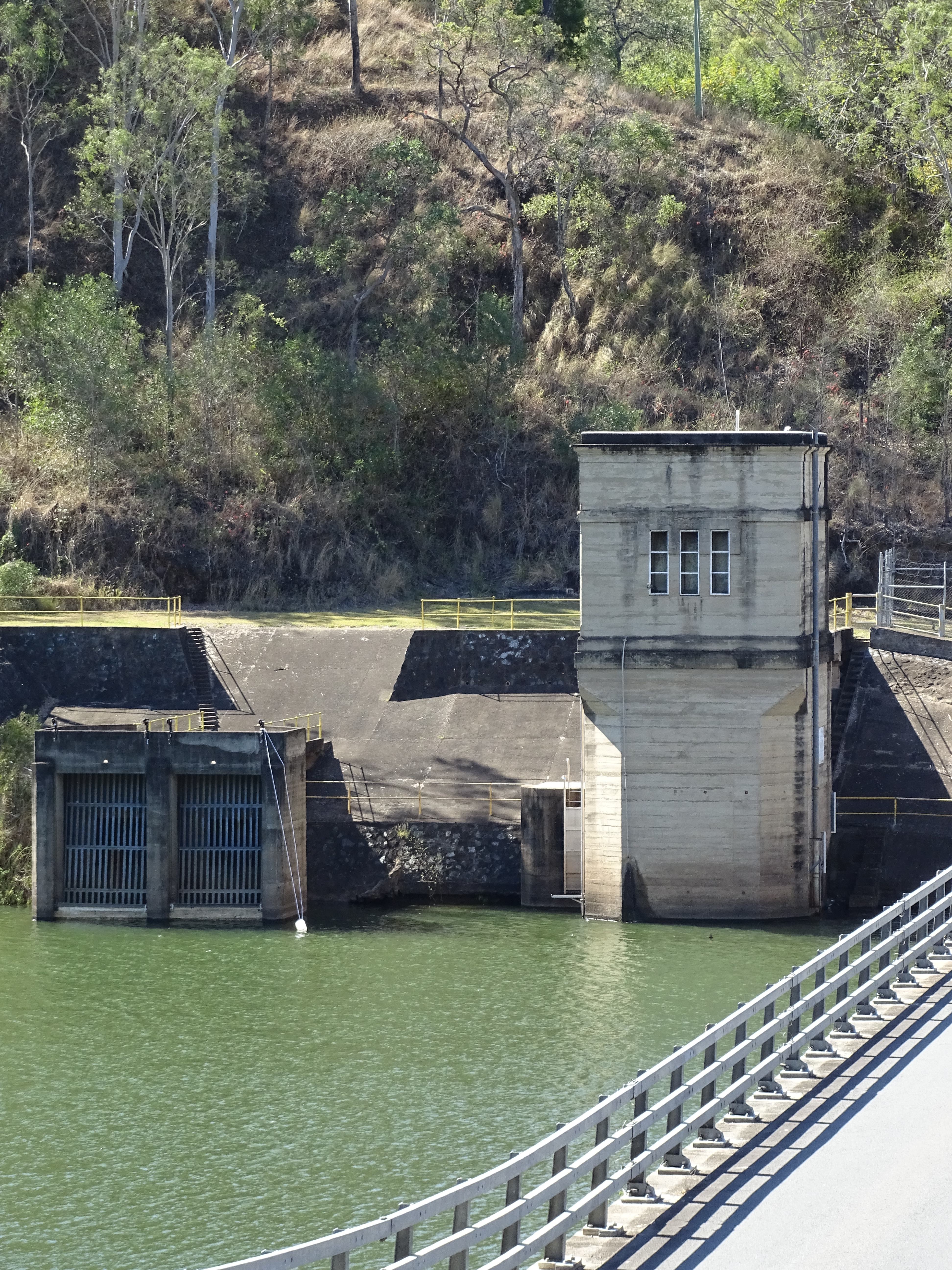
This is an image of the Water Intake Tower as viewed from the Western side of the Mt Crosby Weir, looking east. This is part of the local heritage place known as Mt Crosby Weir & Old Bridge Foundations. Photograph taken 12 August 2018.
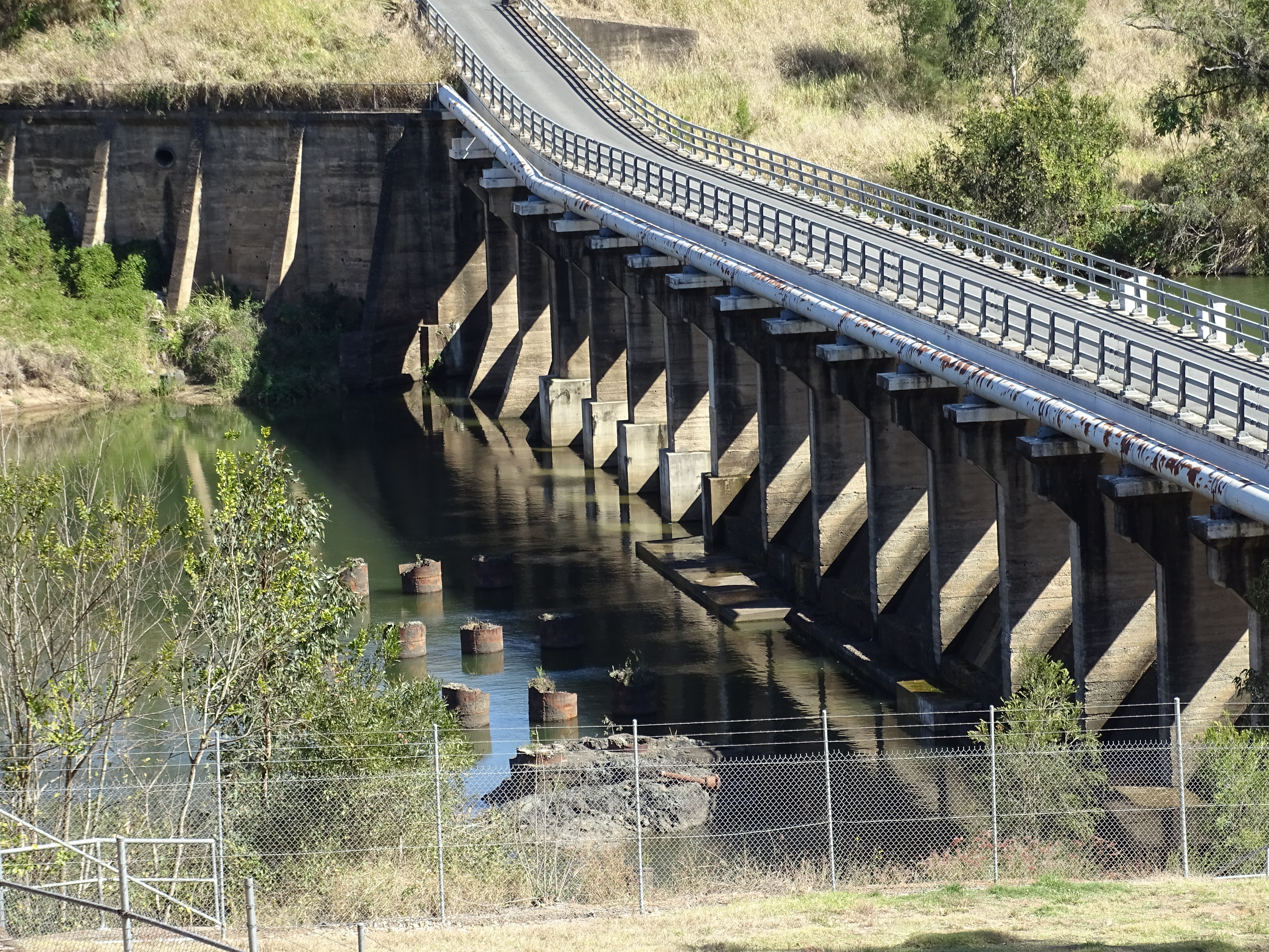
This is an image of the local heritage place known as Mt Crosby Weir & Old Bridge Foundations. Photograph taken 12 August 2018.
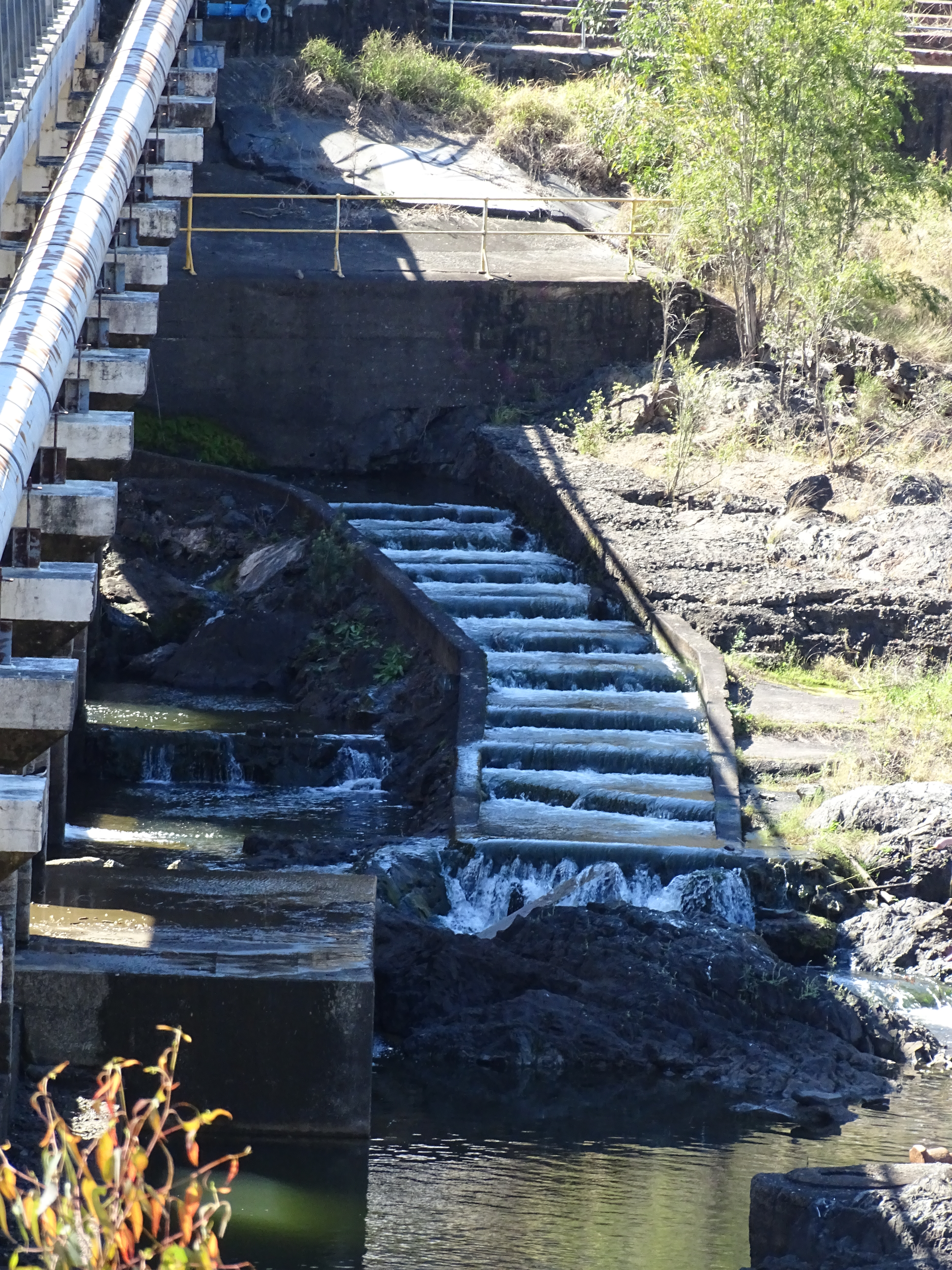
This is an image of the Fish Ladder, part of the local heritage place known as the Mt Crosby Weir & Old Bridge Foundations. Photograph taken 12 August 2018.
This is a historical image of the Weir and Bridge over the Brisbane River at Mount Crosby, 1926 (2007): Digitised Copy Print from 7499 Photograph Albums of the Mount Crosby Pumping Station. Web.
This is a historical image of the Mt Crosby Weir (Brisbane City Council Archives, 24 November 1949)
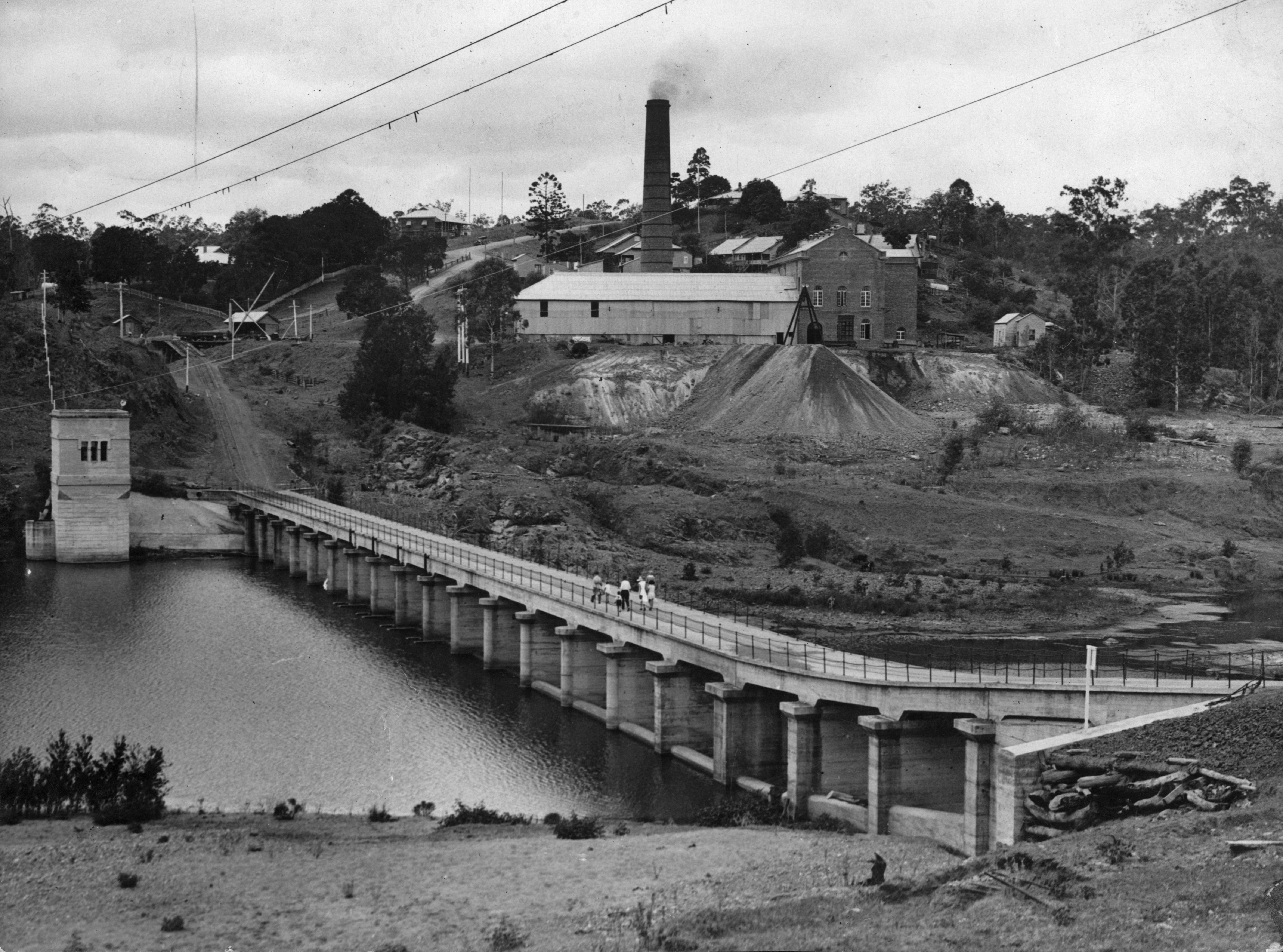
This is a historical image of the Pumping Station and Weir at Mount Crosby, Brisbane, Ca. 1934.
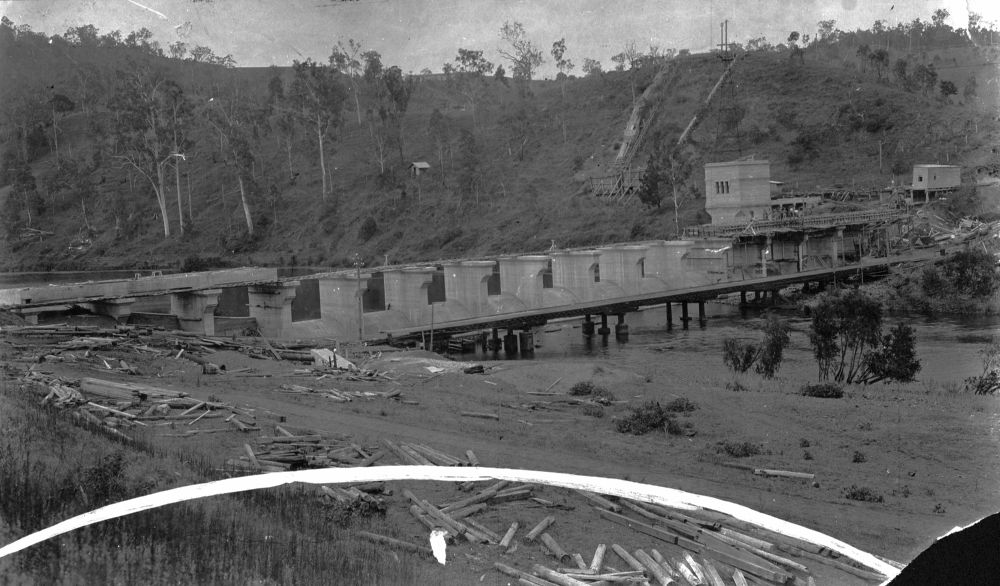
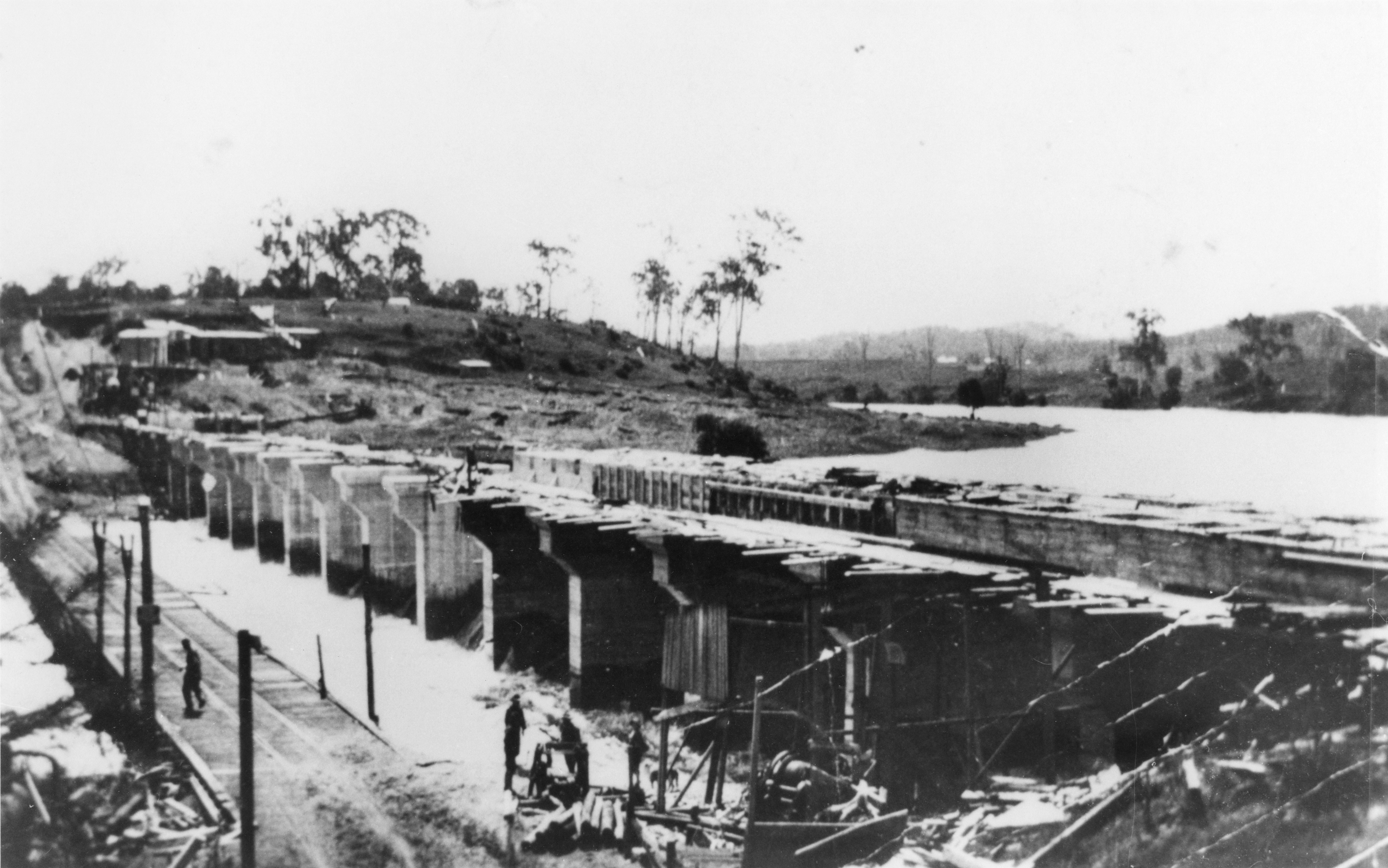
This is a historical image of the construction of the weir at Mount Crosby, ca. 1926
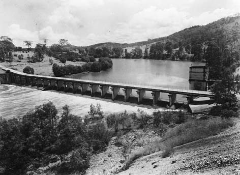
This is a historical image of the Mt Crosby Weir circa 1938.
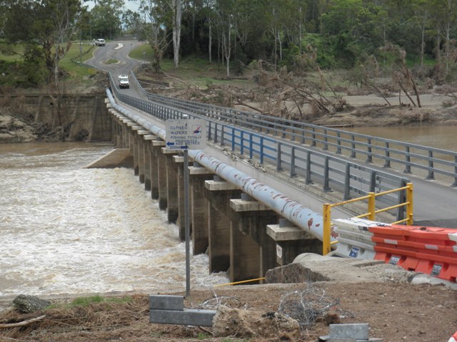
This is an image of the local heritage place known as Mt Crosby Weir & Old Bridge Foundations. Photograph taken just after the 2011 flood.
Mount Crosby Pumping Station Complex (QHR)
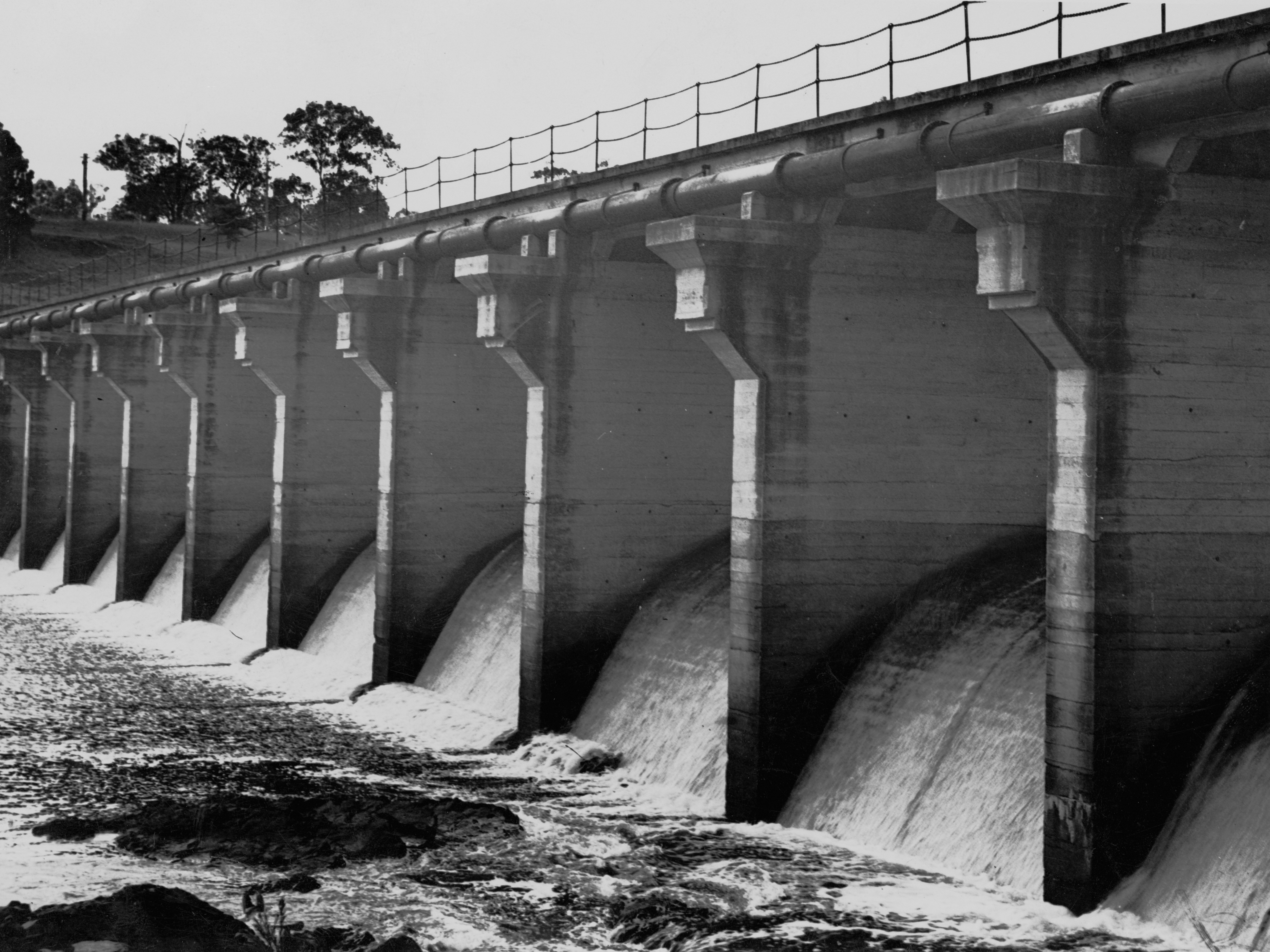
Work on the Mount Crosby pumping station began in 1890. A bridge was essential for operation of the pumping station because its coal supplies came from Ipswich, but floods in the 1890s destroyed the first and second bridges. The foundations of the third bridge, built in 1899 and removed in 1927, are situated beside the present bridge. To ensure continual water supply, a low-level weir was constructed in 1902 downstream of the pumping station. It was replaced by a concrete weir, built between 1923 and 1927. The present weir and overbridge were constructed in 1927, with a fish ladder added in 1940 and a terraced wall in 1979.
This is now a Queensland Heritage Place. Please refer to the Queensland Heritage Register for further details.
Also known as
Mount Crosby Weir & Old Bridge Foundations
Addresses
Geolocation
-27.537277 152.797945
Date of entry on Queensland Heritage Register
Interactive mapping
Also known as
Mount Crosby Weir & Old Bridge Foundations
Addresses
Geolocation
-27.537277 152.797945
Date of entry on Queensland Heritage Register
Interactive mapping
Page prepared by — Brisbane City Council (page revised February 2023)