This is an image of the local heritage place known as RAN Station 9 (former)
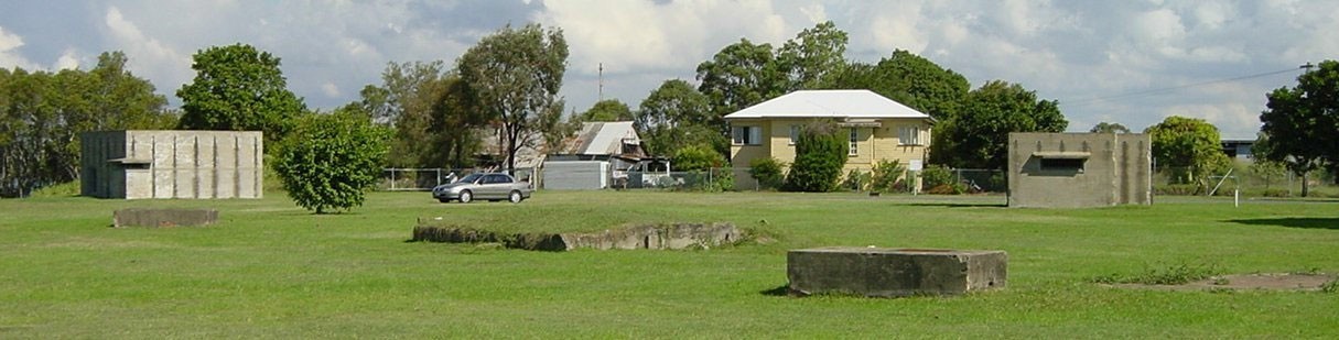
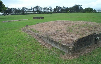
Remains of former RAN Station 9 Pinkenba - South Bunker to the left and West Bunker to the right. Other ruins in foreground
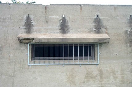
Observation window, South Bunker.
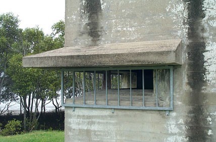
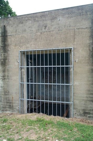
Observation window, West Bunker.
Remnants of RAN Station 9 (from south- west).

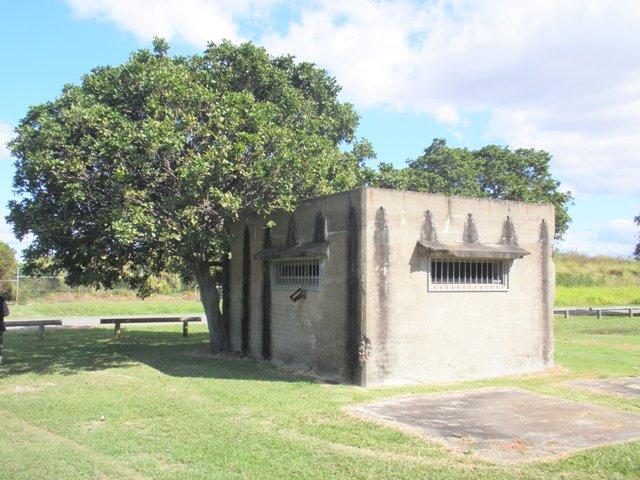
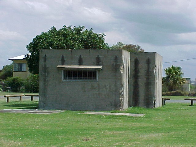
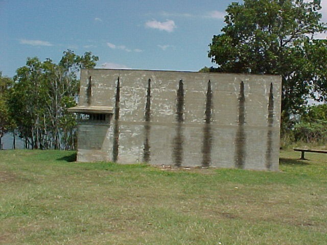
South Bunker from the southwest.
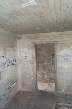
South Bunker interior, southeast room.
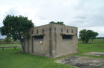
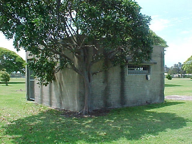
West Bunker from the east.
West Bunker from the north.
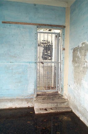
West Bunker interior, large room.
South Bunker, window to south.
South Bunker from the north.
West Bunker from the south.
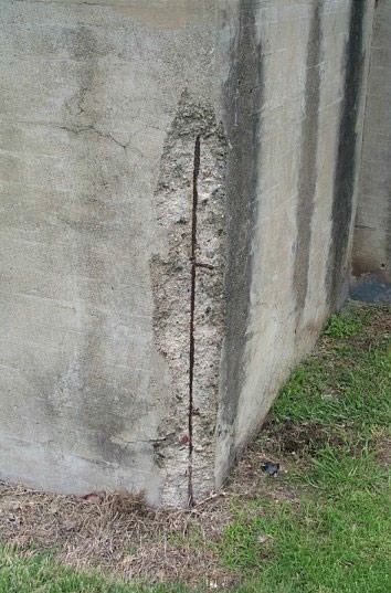
Damage to corner of West Bunker.
RAN Station 9 (former) (QHR)
In early 1942, the site initially comprised a machine gun emplacement on the Brisbane River’s north bank built to cover the anti-submarine boom that stretched across the river to Fort Lytton. From February 1943, a submarine indicator loop was added to Pinkenba’s defences. In September 1943, a Photo-Electric Beam Receiver Station was added. The site was designated RAN Station No.9 in January 1944.
Also known as
Myrletown Boom Defence and Indicator Loop Control Centre
Addresses
Lot plan
L474_M3321
Interactive mapping
Also known as
Myrletown Boom Defence and Indicator Loop Control Centre
Addresses
Lot plan
L474_M3321
Interactive mapping
Page prepared by — Brisbane City Council (page revised September 2023)