Addresses
Type of place
House
Period
Federation 1890-1914
Style
Queenslander
Addresses
Type of place
House
Period
Federation 1890-1914
Style
Queenslander
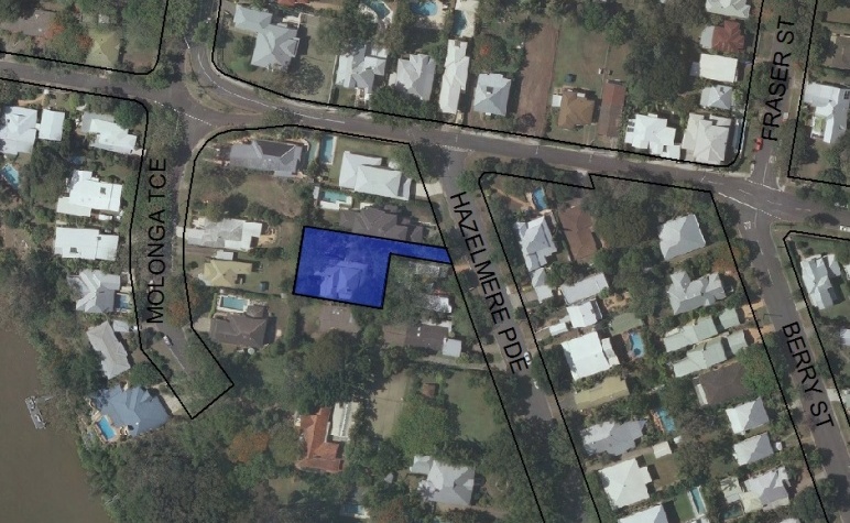
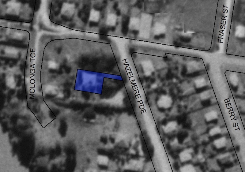
This house was constructed for George Henry Griffin sometime around the turn of the twentieth century. Griffin was a fisherman and oysterman, and his house was located for convenient access to the river. It was constructed on a sizeable block of more than two acres and was subsequently slowly subdivided in a manner typical of the development of Sherwood and surrounding districts. The house gave its name, 'Hazelmere', to Hazelmere Street.
Lot plan
L2_RP100005
Key dates
Local Heritage Place Since —
Date of Citation —
Construction
Roof: Corrugated iron;Walls: Timber
Criterion for listing
(A) HistoricalInteractive mapping
Lot plan
L2_RP100005
Key dates
Local Heritage Place Since —
Date of Citation —
Construction
Roof: Corrugated iron;Walls: Timber
Criterion for listing
(A) HistoricalInteractive mapping
History
In February 1893, George Henry Griffin purchased 2 acres, 2 roods and 39 perches of land from the Queensland Deposit Bank and Building Society, and took out a mortgage for 500 pounds the same month.
The land went to the Public Curator after his death in 1926, and was progressively subdivided between 1926 and 1963, until only the current 34 perches remained.
Griffin was listed at Sherwood in the POD in 1888, and from 1891 onwards, as either a fishmonger or an oysterman. The location varied between Sherwood and Graceville until 1900 (the land is on the border of the two suburbs), and from then on he was consistently listed as living in Graceville. From 1903 to 1905 the name of the house, “Hazelmere” was included in the POD. The street was presumably named after this house.
The Queensland Electoral Roll from 1894 to 1900 only lists Griffin as “freehold” on the land, and so it is difficult to confirm when he started living there. However, George Griffin served in the Sherwood Shire Council from 1901-1902, and it is likely that he would have been living there before he became a Shire Councillor.
Statement of significance
Relevant assessment criteria
This is a place of local heritage significance and meets one or more of the local heritage criteria under the Heritage planning scheme policy of the Brisbane City Plan 2014. It is significant because:
References
-
Title deeds, Department of Natural Resources and Mines
-
Walter Taylor South Character and Heritage Study, BCC Heritage Unit, 1997
-
Queensland Post Office Directories
-
Queensland Electoral Rolls
-
Brisbane City Council Water Supply and Sewerage Detail Plans
-
Surveyor-General’s Office. McKellar’s Official Map of Brisbane and Suburbs. Brisbane, 1895
-
The Streets of Olde Sherwood, Ralph Fones 1995
Citation prepared by — Brisbane City Council (page revised June 2022)


