Addresses
Type of place
House
Period
Federation 1890-1914
Style
Queenslander
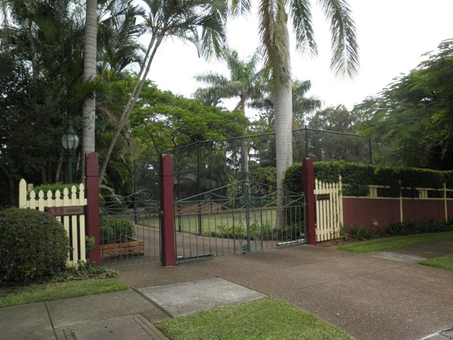

This is an image of the local heritage place known as Residence
This is an image of the local heritage place known as Residence
56 Lilly Street, Sherwood
Addresses
Type of place
House
Period
Federation 1890-1914
Style
Queenslander
This large timber house was constructed in 1906 for grazier and former army officer, Fanshawe Gostling, and his wife, Jessie. Gostling, who had been an officer in the British army and later the Queensland Permanent Artillery, was elected Chairman of the Sherwood Shire Council in 1910 and served in that role until 1918. The house was built on a large property, and, typical of the pattern of development in Sherwood, this was not subdivided until after the Second World War.
Also known as
Benaraby
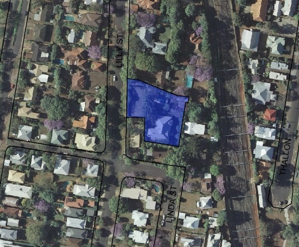
Lot plan
L8_RP142323
Key dates
Local Heritage Place Since —
Date of Citation —
Construction
Roof: Corrugated iron;Walls: Timber
People/associations
Fanshawe Gostling (Occupant)Criterion for listing
(A) Historical; (H) Historical associationInteractive mapping
Also known as
Benaraby
Lot plan
L8_RP142323
Key dates
Local Heritage Place Since —
Date of Citation —
Construction
Roof: Corrugated iron;Walls: Timber
People/associations
Fanshawe Gostling (Occupant)Criterion for listing
(A) Historical; (H) Historical associationInteractive mapping
History
The area from Chelmer to Corinda was known as “Boyland’s Pocket” in the 1850s, Captain Boyland having leased the area in 1851. In 1860 the new Queensland government opened up the district for selection, at a price of 1 pound per acre, resulting in the establishment of a number of farms ranging anywhere between 25 and 70 acres in size. Attempts were made by pioneer selectors during the 1860s and 1870s to produce maize, potatoes, bananas, cotton, sugar cane, and arrowroot. The opening of a railway bridge at Indooroopilly in 1876 reduced the isolation of the area, and allowed for increased subdivision. The first main wave occurred in the 1880s, a boom period for Brisbane. However, many of the allotments sold at this time remained vacant for years, and continued to be used for small farming operations. Later waves of building, occurring after each of the World Wars, gradually reduced the amount of farmland, and new housing continues to envelop those gracious older houses which once stood on acreage, surrounded by gardens.
In June 1906 Jessie Maggie Gostling, wife of Fanshawe Derby Le Marchant Gostling, purchased 2 acres, 1 rood and 10.4 perches of land from Elliot Bland, who had held it since 1889. It appears that Bland never lived in the area, but F.D. Gostling is listed in the POD as a grazier living in Sherwood from 1907. Prior to that, he had been the manager of Gin Gin Station, Bundaberg, since 1892.
Fanshawe Gostling had served in the British Army as a lieutenant in the Royal Artillery, before serving in the Queensland Permanent Artillery from 1885 to 1888. In 1910 Gostling was elected Chairman of the Sherwood Shire Council. He served for seven years, becoming the longest serving Sherwood Shire Chairman.
Jessie died in 1942, and the house was transmitted to Margaret Wilson in 1943. In 1944 the house was transferred to Olga Sutcliffe Bowly, who held the land until her death in 1970. In the intervening period the large block of land was subdivided several times, and by 1975 it had been reduced to the still significant 2738 square meters.
Statement of significance
Relevant assessment criteria
This is a place of local heritage significance and meets one or more of the local heritage criteria under the Heritage planning scheme policy of the Brisbane City Plan 2014. It is significant because:
References
-
The Brisbane Courier.
-
Title deeds, Department of Natural Resources and Mines
-
Walter Taylor South Character and Heritage Study, BCC Heritage Unit, 1997
-
Brisbane City Council Water Supply and Sewerage Detail Plans
-
McKellar's Map of Brisbane and Suburbs. Brisbane: Surveyor-General’s Office, 1895
Citation prepared by — Brisbane City Council (page revised June 2022)