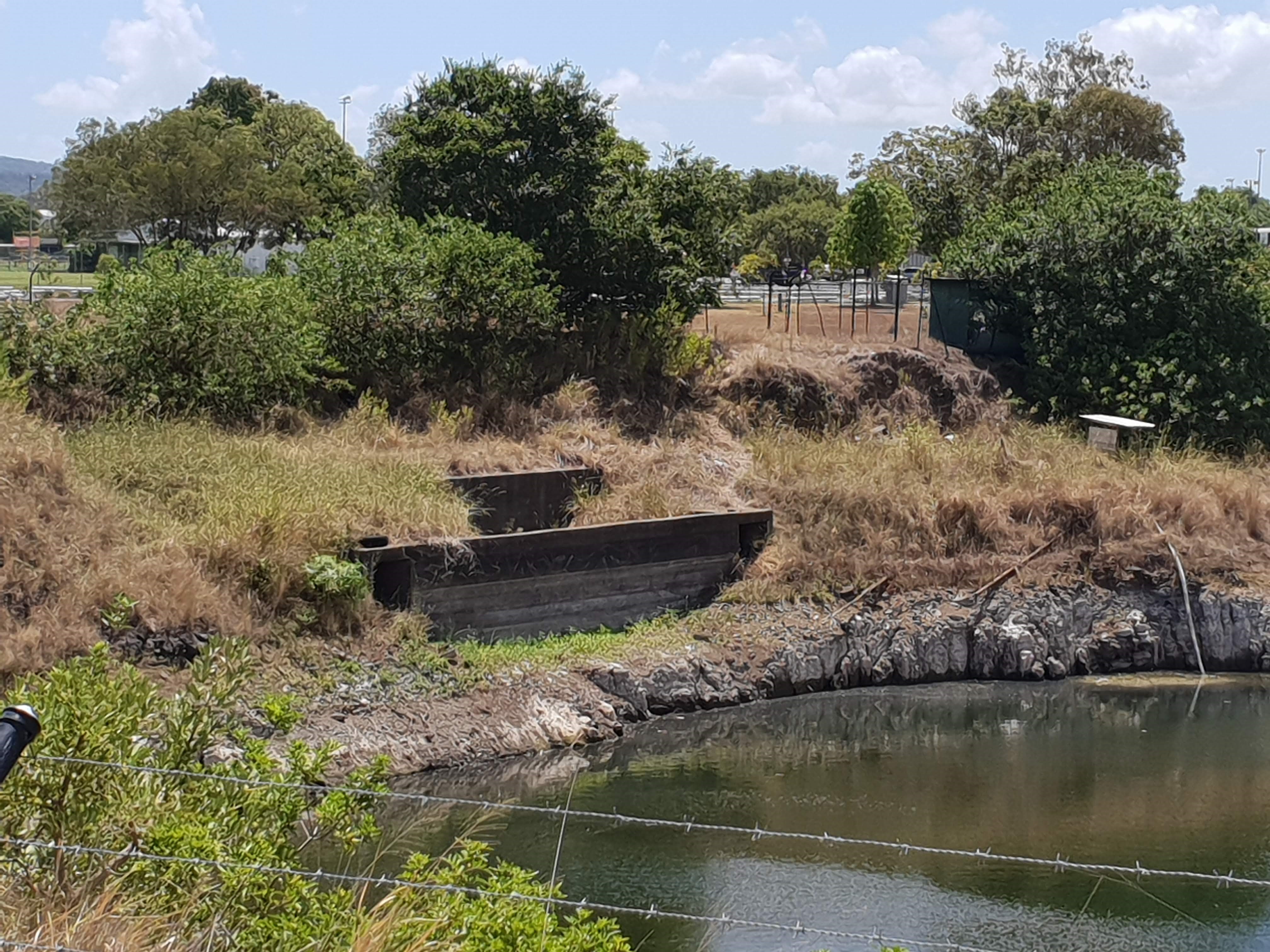
This is an image of the local heritage place known as Acacia Ridge Air Raid Shelter. Photograph taken 28 January 2019.
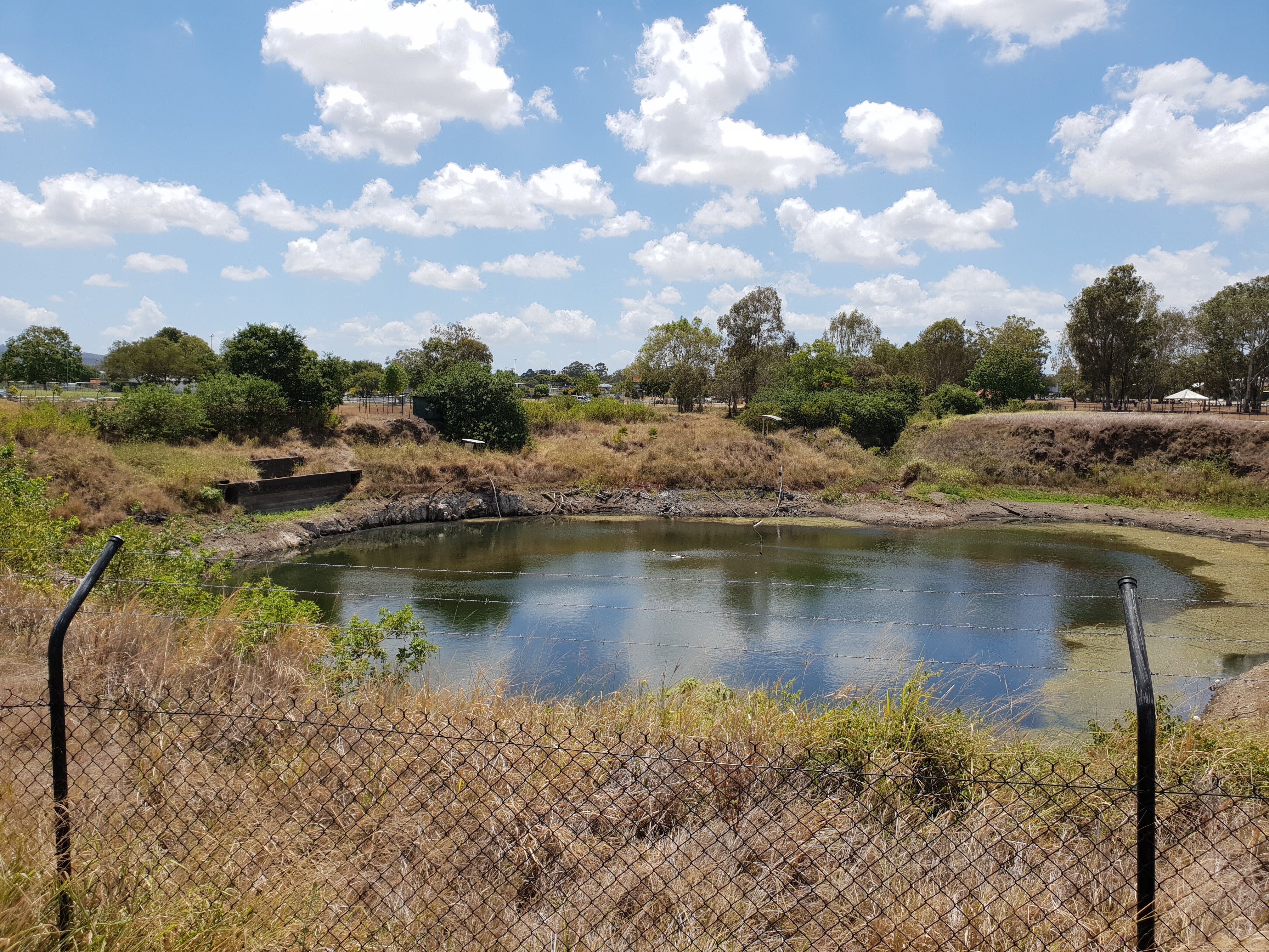
This is an image of the local heritage place known as Acacia Ridge Air Raid Shelter - viewed within the context of it's location within Carr's Quarry. Photograph taken 28 January 2019.
Acacia Ridge Air Raid Shelter (QHR)
Addresses
At 174
Mortimer
Road,
Acacia ridge,
Queensland
4110
Lot plan
L4_RP100451
Geolocation
-27.577116 153.01576
Date of entry on Queensland Heritage Register
Interactive mapping
Addresses
At 174
Mortimer
Road,
Acacia ridge,
Queensland
4110
Lot plan
L4_RP100451
Geolocation
-27.577116 153.01576
Date of entry on Queensland Heritage Register
Interactive mapping
Page prepared by — Brisbane City Council (page revised September 2020)